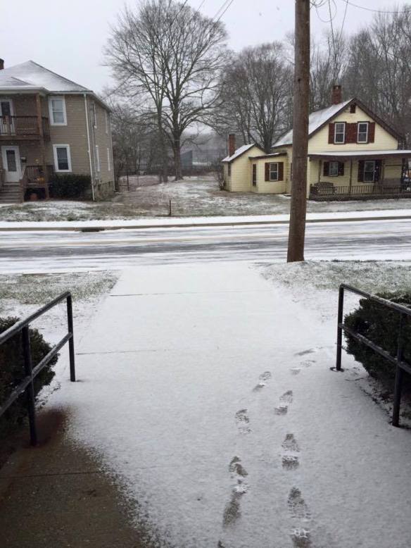
As of 8 p.m. Tuesday I picked up about 0.2″ of snow here in West Hartford – Winter 2015-2016 is just full of epic excitement.
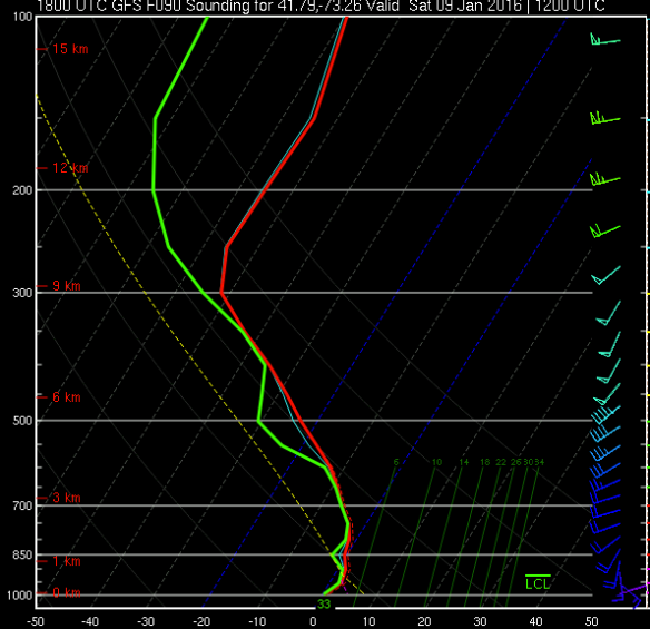
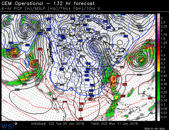
This weekend it seems fairly likely that we’ll see a storm developing off the coast. This afternoon’s GFS run has an intriguing solution with a period of rain and snow – possibly heavy.
There are several reasons why this storm likely will not be a big snow storm. One of the biggest reasons is that there’s no source of cold air to the north. You can see no high pressure over Maine or the Canadian Maritimes which is a problem. Also, before this storm forms a primary low moves over the Great Lakes which manages to bring a lot of warmth north – especially since as mentioned previously there’s no big high pressure system.
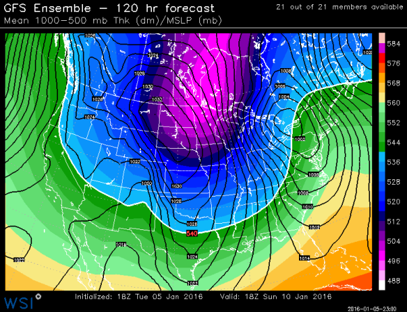
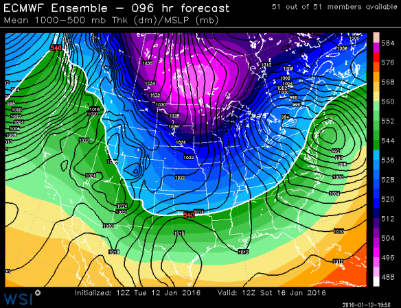
We are quite confident in a storm passing just underneath us. Today’s European Ensemble shows a strong signal for a nor’easter developing off of Montauk Point.
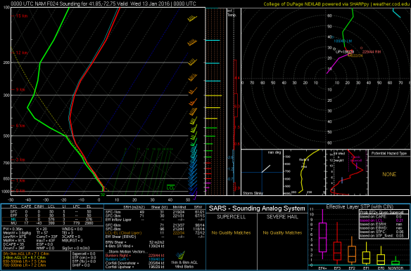
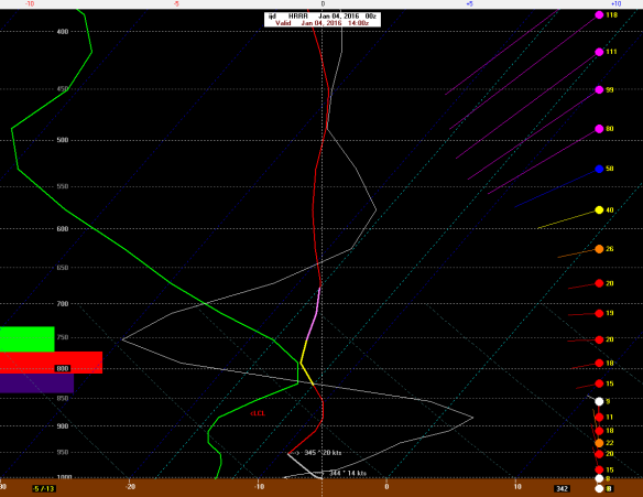
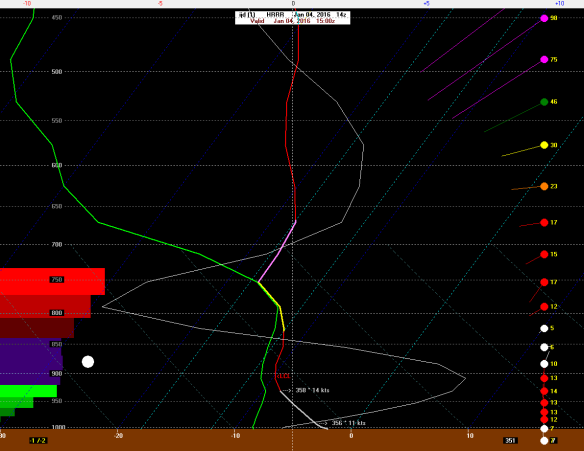
Even though odds do not favor a major snowstorm we can’t rule it out. Occasionally, a storm with an unfavorable set of ingredients can “thread the needle” and intensify in the right place at the right time and result in a storm that’s just cold enough for snow. It is January after all so a storm bombing out to our southeast needs to be watched. This afternoon’s GFS run effectively does that for parts of inland Connecticut – especially the hills.
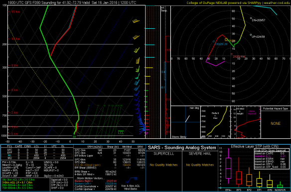
This sounding from the height of the storm shows temperatures just a hair below 32 degrees in the lowest few thousand feet of the atmosphere. Other computer model solutions, particularly the ECMWF, are a bit milder and would mean a rain rather than snow solution.
I’m not excited about this one yet – but I reserve the right to get excited about it in the next couple days!