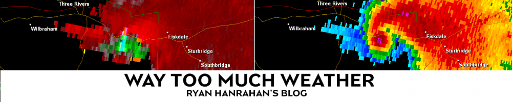
Last Monday I reported from Brimfield and surveyed the tornado damage across the town. The track was remarkably wide and well defined as the tornado clear cut a densely forested area over several hills and valleys on either side of the Brimfield State Forest. I highlighted the tornado’s path on this google map and pointed out a few of the hardest hit areas.

Path of Brimfield Tornado
- Home nearly swept off its foundation off a hill on Hollow Road. Belongings and pieces of the home were strewn across the hillside and many wound up on Hollow Road (picture 1).
- Hollow Brook Farm totally destroyed on Hollow Road. Chickens on neighboring farm were stripped of feathers as tornado crossed Hollow Road (Picture 2).
- Roof lifted off home on Haynes Hill Road and carried about 20 yards to the east. Screwdriver from home became impaled in tree behind home (Picture 3).
- Home totally swept off foundation (nothing left besides basement) on Haynes Hill Road and all debris was carried west of the home.
- Home totally swept off foundation on Wales Road into pond behind the home. Virtually the entire home (and belongings) wound up in the neighboring pond.
- Friendship Baptist Church 0n Holland Road narrowly missed the tornado to the north. Church was used as staging area for some of the relief efforts.
- Quinebaug Cove Campground on Holland Road destroyed by tornado with some campers wrapped around trees that were left standing. Most trees on campground snapped in half.

House Swept Off Hill on Hollow Road

Hollow Brook Farm on Hollow Road

Screwdriver Stuck in Tree on Haynes Hill Road

House Picked Up and Moved on Foundation with 2x4 and Sticks Impaling Southern Wall on Haynes Hill Road.

House Nearly Flattened on Haynes Hill Road

Ryan~ Have to adjust the track a bit, that thing went right down the Middle of Rt 20 just before the Sturbridge line.
Hi Chris, you’re right there’s a small area in Brimfield on Rt 20 that did get a near-direct hit (near the Village Green Campground) but for the most part the storm stayed south. Which area are you referring to specifically?
Chris, I updated the map. I think this may be more accurate to represent the damage on Route 20 near the campground. The areas near East Brimfield Lake and and south of the center of town I feel confident about. Let me know your thoughts… would be happy to change it again 🙂
Don’t mean to bust ;), but traveling down Rt 20 East, right prior to the Lake, it appeared the tornado traveled on Rt 20 as there was damage on both sides of the road as far as you could see.
What do you think of think of the new map I posted, Chris.